United States: Pacific Coast Highway
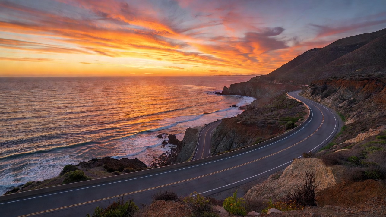
If European routes are about extracting the maximum dynamic potential from a chassis, the Pacific Coast Highway is an exercise in grand touring romance. California State Route 1, particularly the stretch passing through Big Sur, is arguably the most famous coastal road in the world. It is a monument to a specific type of driving: top down, torque-rich cruising against a backdrop of cinematic scale.
Clinging to the cliffs where the Santa Lucia Mountains abruptly drop into the Pacific Ocean, the PCH is a masterclass in sweeping, continuous curves. It does not demand the frenetic gear changes of an Alpine pass, but instead asks the driver to settle into a rhythm, linking long radii curves while managing the mesmerizing distraction of the Pacific horizon to the west.
The Route & Geography
While Route 1 stretches for over 650 miles along the California coastline, the defining segment runs between Carmel-by-the-Sea in the north and San Simeon in the south. This roughly 90-mile corridor encompasses Big Sur, winding through towering redwood groves and over dramatic ravines.
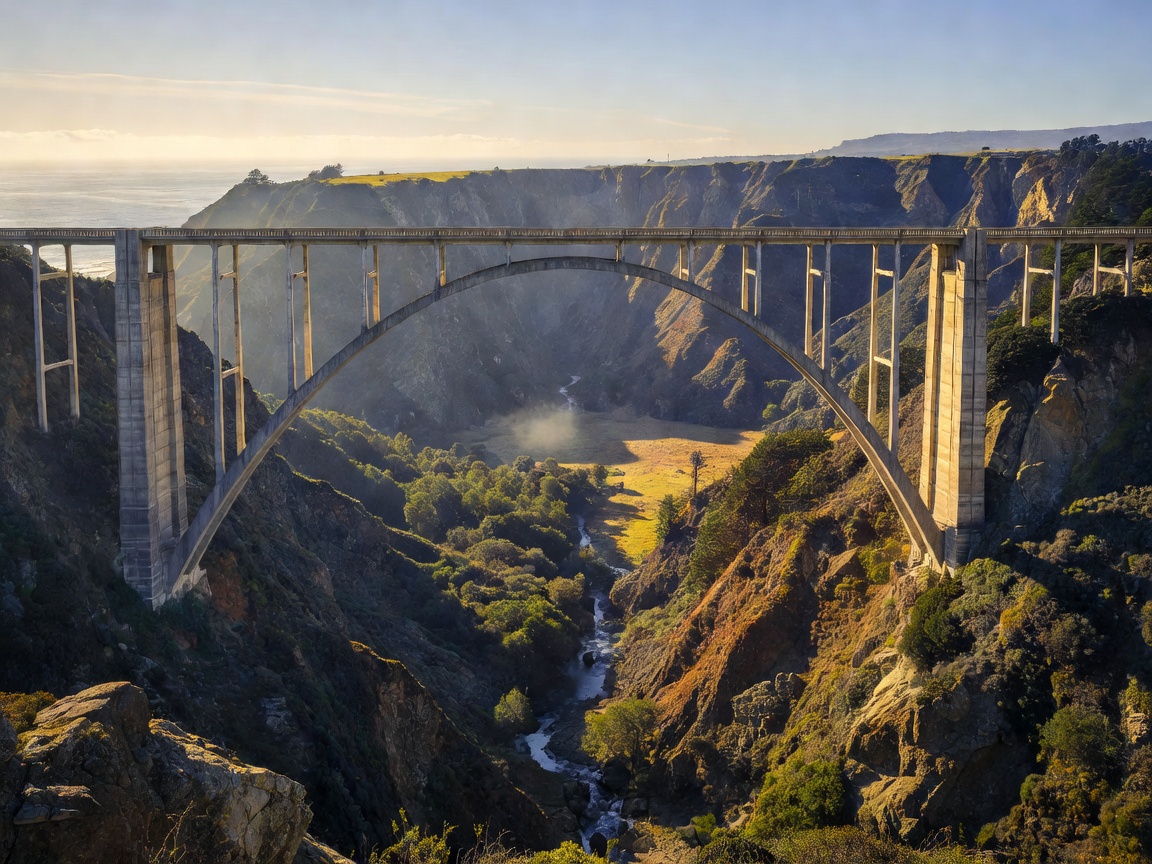
The iconic centerpiece is the Bixby Creek Bridge, an elegant concrete arch completed in 1932 that suspends the road 260 feet above the canyon floor. Driving south places you on the ocean side of the tarmac, providing unobstructed views of the surf crashing against the jagged shoreline, though it also places you inches from the precipice.
Driving Dynamics & Technical Specifications
The PCH is defined by its flow. The cambers are generally friendly, and the sightlines—barring a few blind corners hugging the cliff face—are open. It is a wide, forgiving road that rewards smooth steering inputs and a relaxed throttle application.
The optimal machine here is a true Grand Tourer. A heavy, powerful convertible, or a plush, long-wheelbase coupe provides the torque to effortlessly surge out of the sweepers and the refinement to isolate you from the occasionally patched asphalt. Stiffly sprung track specials will feel nervously out of place on these expansive coastal sweeps.
Pros and Cons
The Pros: The aesthetic experience is unrivaled. The sheer scale of the ocean meeting the mountains is awe-inspiring. The sweeping corners establish a hypnotic rhythm that makes long-distance touring deeply satisfying.
The Cons: Mother Nature is the ultimate arbiter of the PCH. Landslides frequently close entire sections of the highway for months at a time. Additionally, this is a major tourist artery; on a summer weekend, you are just as likely to be stuck behind a rented RV as you are to find an open stretch of tarmac.
Practicalities & When to Go
Timing your run is essential. Early autumn (September and October) offers the clearest skies, as the thick coastal marine layer (often called "June Gloom") that obscures the mornings in early summer has usually dissipated.
Always check the Caltrans highway status before setting off, as road closures in the Big Sur area are common. Fuel stops are sparse and heavily marked up through the central coastal stretch, so topping off in Monterey or Cambria is highly recommended. To truly enjoy the flow, start your drive at sunrise.